KwaZulu-Natal
Description
The KwaZulu-Natal province, also referred to as KZN or the Garden Province, is located on the east coast of South Africa, with Pietermaritzburg as its capital. KZN borders three other SA provinces and the countries of Mozambique, Swaziland, and Lesotho. KwaZulu Natal, often considered the home of the Zulu nation, is home to the Zulu monarch, King Goodwill Zwelithini kaBhekuzulu. Although he has no direct political power, the Zulu king is provided a stipend by the government and holds considerable sway over traditional Zulu people.
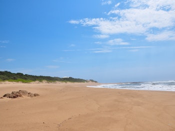
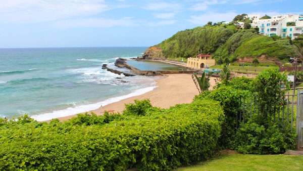
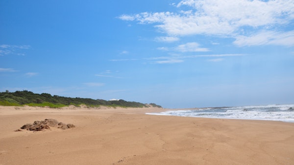
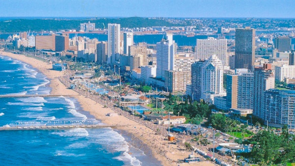
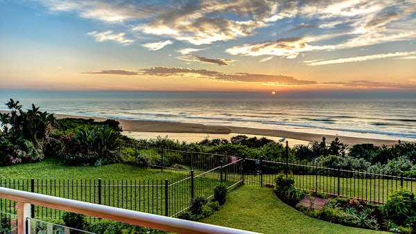
Besides the province’s largest city, Durban, the coastline of KwaZulu-Natal is dotted with small towns, many of which serve as seasonal recreational hubs. The climate of the coastal area is humid and subtropical, comparable to southern Florida in the United States. As one moves further north up the coast towards the border of Mozambique, the climate becomes almost purely tropical. Superb beaches of world-class quality are to be found along virtually every part of South Africa's eastern seaboard with some of the least developed gems found in the far southern and far northern ends of the province's extents.
An extraordinary natural phenomenon, the "sardine run", is witnessed annually off the KwaZulu-Natal coast during late autumn and early winter. Also referred to as "the greatest shoal on earth", the sardine run occurs when millions of sardines migrate northwards along the Eastern Cape coastline, from their spawning grounds near Cape Agulhas towards KwaZulu Natal, following a path close to the shore. This often results in many fish washing up on beaches along the coast. The huge shoal of tiny fish can stretch many kilometers and is followed and preyed upon by thousands of predators, including game fish, sharks, dolphins, whales, and seabirds.
Generally, the coast is subtropical with inland regions becoming progressively colder, but KwaZulu-Natal in general has a varied climate thanks to its diverse, complex topography. Durban to the south has an annual rainfall of 1009mm with mild to hot summer temperatures. Temperatures drop towards the interior, with Pietermaritzburg being similar in the summer, but much cooler in the winter. Ladysmith in the Tugela River Valley reaches up to 30 degrees Celsius in the summer, but may drop below freezing point on winter evenings. The Drakensberg can experience heavy winter snow, with light snow occasionally experienced on the high peaks in summer. The Zululand north coast has the warmest climate and highest humidity with a lot of sugar cane farms around Pongola.
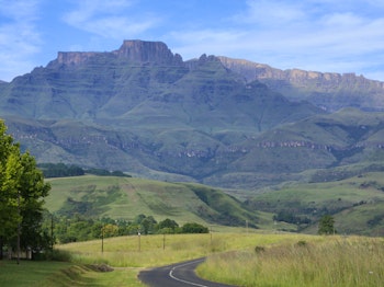
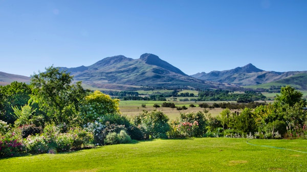
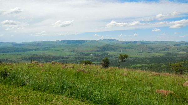
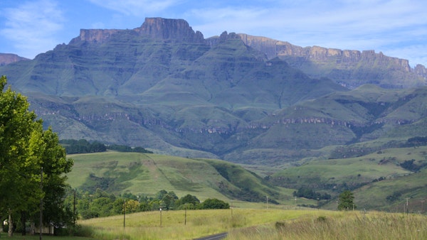
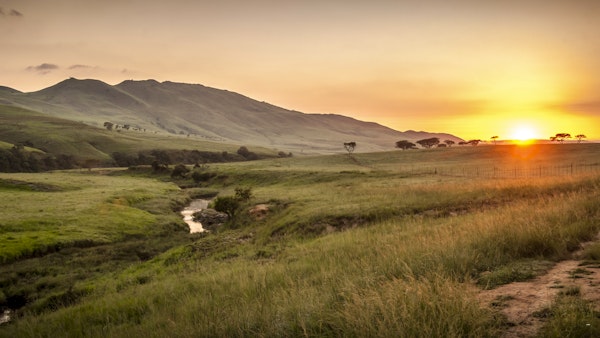
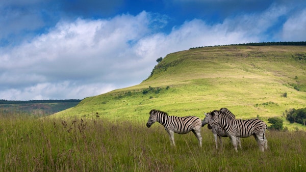
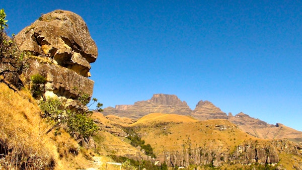
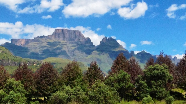
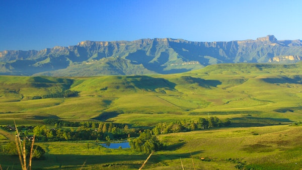
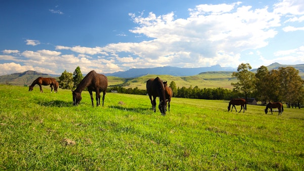
The province has three main geographical areas – the lowlands, midlands, and mountain regions. The lowland region along the Indian Ocean coast is extremely narrow in the south, but widens in the north. This coastal region typically has subtropical thickets, deep ravines, and steep slopes that host Afromontane Forest. Inland, the central Natal Midlands is an undulating hilly plateau of moist grasslands, with isolated pockets of Afromontane Forest that rise towards the western Drakensberg. The Drakensberg Mountains near the Lesotho border rise to over 3,000m to form a solid wall of basalt covered in alpine grasslands, whilst the Lebombo Mountains are the other half of KZN's mountainous region - an ancient granite mountain forming a low parallel range that runs southward from Swaziland's moist savannah habitat.
