Bo-Kaap
Description
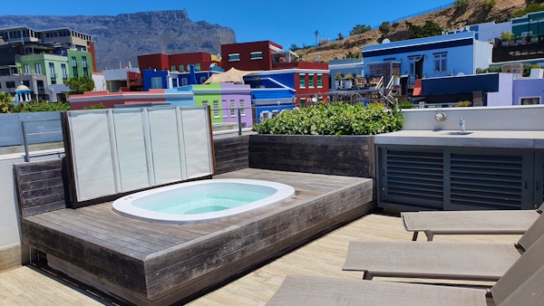
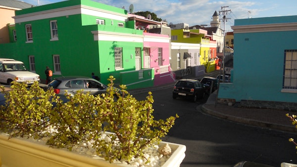
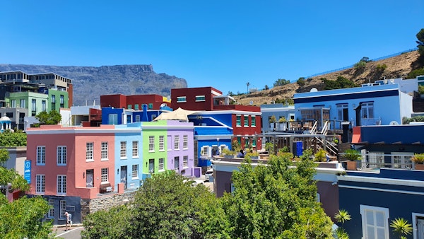
Also known as the Malay Quarter, Bo-Kaap is nestled at the foot of Signal Hill on central Cape Town's western perimeter. It feature steep, narrow streets, many of which are cobbled, densely built-up with distinct, brightly colored, single-story, flat-roofed houses and mosques which were originally built in the 18th and 19th centuries to serve the Cape Malay community.
Much of the Cape muslim community draws its roots from slaves brought in from Indonesia and other eastern countries. They were sought after for their skills as tradesman and their cooking skills. When slavery was abolished in the 1830s many of these slaves settled to the beautiful Bo-Kaap (meaning 'Upper Cape Town'). The Bo-Kaap remains a traditional, devout muslim society to this day, but are highly integrated into Cape Town life.
Many of the Bo-Kaap's residents still make pilgrimages to tombs of local holy men (kramats). There are 5 kramats on or near the Cape Peninsula and one on Robben Island, all of which are brightly decorated and well maintained. Some locals even perform a traditional Ratiep, a religious sword dance where an individual can enter a spiritual trance to cut themselves without drawing blood, but this spectacle is now frowned upon by many imams (spiritual leaders).


