Maclear's Beacon
Description
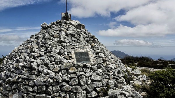
Table Mountain is a plateau that is about 3km in length, and is surrounded by Devil’s Peak, Lion’s Head, and Signal Hilll. Maclear’s Beacon lies on the North-East side of the mountain plateau, and offers fantastic views of the Cape Town CBD, Altantic Ocean, and Robbin Island below.
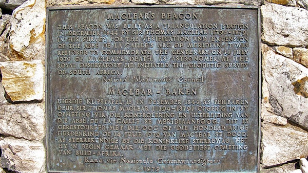
Maclear’s Beacon marks the highest point on Table Mountain, approximately 1,087 meters above sea level. The stone, placed in 1865, was named after Sir Thomas Maclear, the Queen’s astronomer in the Cape area.
Maclear’s Beacon is a must-see for hikers and tourists alike. Routes to the stone are well marked. The different routes can be accessed from Platteklip Gorge or the Cable Station. There is also a route from Kirstenbosch Botanical Gardens known as Smuts Track. These routes take anywhere between 2 to 3 hours to reach Maclear’s Beacon.
Map


Nearby Attractions
Click here to see more accommodation options
You may also be interested in browsing our selection of accommodation in Atlantic Seaboard or reading about Atlantic Seaboard


